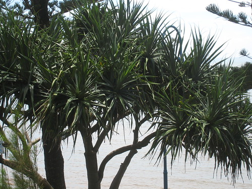
Pandanus on the foreshore of Redcliff Beach.
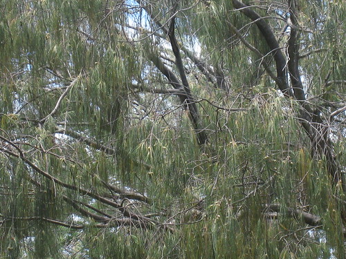
Casuarina. Redcliff Beach.
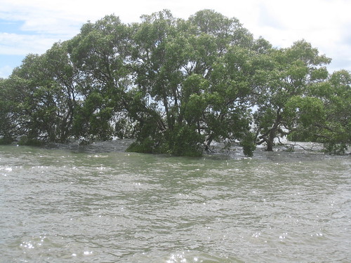
Mangrove at Nudgee Beach
The beaches on Moreton Bay (and all those that I have seen so far) are so different from what I know as a beach. I think it would take another lifetime to acclimatise me to them.
Pandanus and this incredibly dessicated looking casuarina are to be found on every beach I have so far seen. Shallow beaches, dirty water and warm. But there are all those islands off the coast, so the water is shallow and fed from all the muddy mangrove creeks and rivers...everywhere. Also incredibly salty.
I have brought up the car from Sydney using the old Satnav. But I clearly needed newer maps and so had to buy a new one (no maps available on the old one). So I was determined to venture forth and try the roads and the navigation.
I set out for Redcliff, having seen photos from a Flickr friend, but diverted to various places on the way. So I thought that Nudgee might serve for a swim. Clearly not. Great for fishing. And so I continued on.
The Norfolk pines of Redcliff looked somewhat the worse from the long drought, but it was a swimmable beach and so I swam.
The new satnav is not as satisfactory as the old: it does not automatically tell me to continue straight when I reach an intersection with millions of directions. You need to keep a sharp eye on the number of metres left before the turn or you will turn too early. Also the maps are crappy. We now have voiced streets, but this is not always helpful: Sir Fred Schonell drive becomes "serve ridge..." and Brisbane is pronounced with the last syllable rhyming with rain. Anyway it took me there and brought me home safely so I should not be complaining.
No comments:
Post a Comment