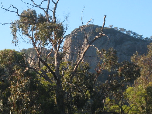
Bluff Rock. Near Tenterfield, NSW.
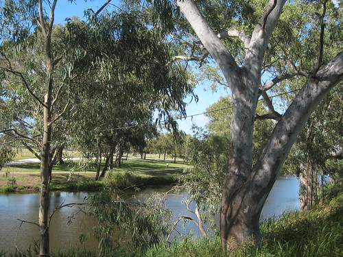
The Condamine. Warwick, Queensland
I drove up by the New England Highway. Someone suggested to me that it would be the better, safer route. I'm not entirely sure about that. True that for many stretches of the road there was just me. But the distance was longer and it was a two lane highway (one lane one way, the other the other) which I hate as it doesn't allow any room for error.
I used the satnav and hence had no idea about intermediate towns or the length of the journey itself. Staging myself with directions to the next turn (204.7 km to the right...) I hadn't realised that it took in all the little towns on the way, so that there was need for a constant attention to the speed signs and the route to the upper Hunter from Newcastle seemed to consist of a constant chain of towns each extraordinarily close to the other.
Each staging post being a town, petrol and food were largely separated which is not the case for Highway 1, from Melbourne to at least Newcastle, so I had to revisit my strategy for these two items.
From Glen Innes, where I slept the night, all the way almost to Brisbane, it was an easy drive. Still not sure about the two lanes, though. I'll return via the coast and find out how horrible that is.
It was only when I felt that Brisbane was within reach that I started to take photos. (And then my battery ran out. I will be buying a spare.) The Condamine I had to photograph because of Don and it was there that the battery ran out. (There was some stunning scenery, a really beautiful drive.)
1 comment:
Checked my speedo: 1011 on the trip meter. Subtract 30-50 for incidental petrol-use prior to starting with what appeared to be a full tank. Gives at least 960 km journey length.
Post a Comment